Alces Lake Project

Athabasca Basin, Saskatchewan

High-grade monazite outcrop WRCB zone, Alces Lake Saskatchewan

Current Reports

Appia announces the completion of a National Instrument 43-101 technical report dated May 30, 2023, titled “A Technical Review of the Alces Lake Rare Earth Mineral Exploration Project, Beaverlodge Domain, Saskatchewan, Canada.” Authored by Al Workman, P.Geo., F.SEG, F.AusIMM, Senior Geologist at Watts, Griffis and McOuat, Geological and Mining Consultants, the report provides an update on previous exploration activities and recommends a follow-up program for the 100% owned Alces Lake property in the Athabasca Basin, Saskatchewan. The document, available on the Company’s SEDAR+, enhances the understanding and future exploration strategy for Alces Lake.

Current Work (2024)

Appia recently received highly encouraging results from the completed Falcon Airborne Gravity Gradiometer (AGG) survey at its Alces Lake property in northern Saskatchewan. The survey has successfully identified several promising drill targets below surface that exhibit geophysical characteristics similar to the prolific WRCB Zone and other high-grade rare earths (REE) and gallium surface showings on the property.
Conducted by Xcalibur Multiphysics, the Falcon AGG Survey spanned over 1,053-line kilometers with 100-meter line spacing, focusing primarily on the Alces Lake regional fold and the northern portion of the property’s NW-SE regional shear zone. These areas host several significant REE and gallium occurrences at surface, including the high-grade WRCB zone. The survey has provided critical, high-resolution subsurface imaging, revealing multiple new targets with similar characteristics to known mineralized zones at depths ranging from 200 to 1,000 meters.

Historical Work

Historic Exploration

The uranium deposits in the Beaverlodge camp were recognized as carrying anomalous REE mineralization in ratios similar to those found in the leucogranite host rocks. Total REE contents ranged from 20 ppm to 2,595 ppm, however, at the time of mining there was no interest in REE’s due to the relatively small market for such metals.

During the 1950s, the Alces Lake area was subject to geological mapping, prospecting, ground radiometric surveying, minor trenching and limited diamond drilling. A few companies such as Goldfields Uranium Mines Ltd., Fargo Oils Ltd and J.H. Wilson, carried out exploration programs; however, the Beaverlodge area near Uranium City was main focus of exploration and mining activity in this region.

A second period of uranium exploration occurred between 1966 and 1968 consisted of an airborne radiometric survey and ground prospecting by Numac Oil & Gas Ltd. This coincided with airborne surveying activity over the Athabasca Basin by the Dynamic Group in the search for sandstone-hosted (roll-front) uranium deposits. This program was ultimately carried forward by Gulf Minerals and its partners resulting in the discovery of the Rabbit Lake unconformity-type uranium deposit. Numac’s airborne survey in the Alces Lake area resulted in the detection of 287 anomalies that led to the discovery of 79 radioactive occurrences. These were subsequently revisited by Wilson who trenched the better showings and discovered radioactive pegmatites which were named the “SCRUB” showing. However, the principal metal of interest was uranium and no significant value was given to rare metal mineralization.

During 1975, SMDC explored for the continuation of uranium deposits along the eastern strike of the St. Louis Fault, a major control on uranium mineralization in the mines in the Beaverlodge area. SMDC used water and lake sediment geochemical sampling together with VLF-EM techniques over the Alces Lake water body. The program failed to identify mineralization of economic significance. While exploration continued in the Uranium City area, principally for gold and uranium, the areas to the east saw no significant activity through the remainder of the 1990s.

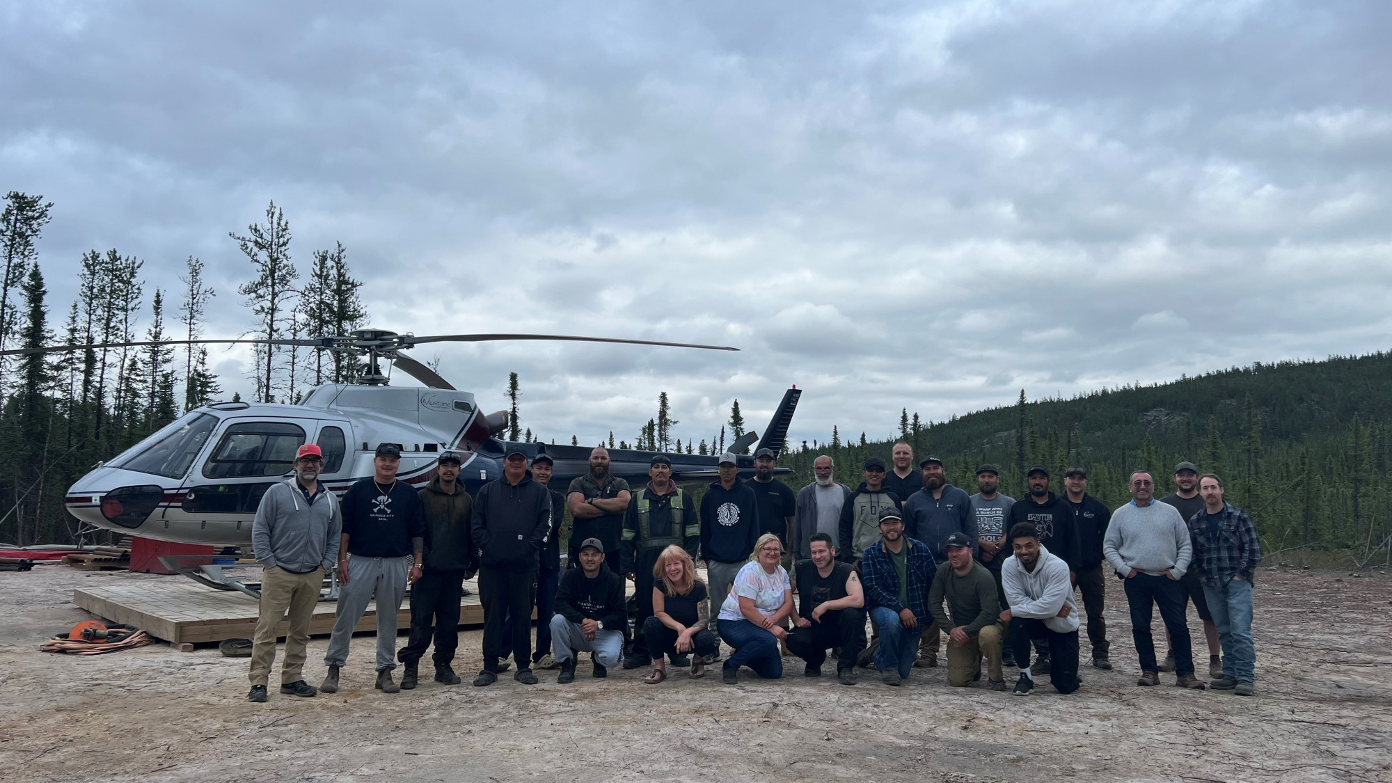
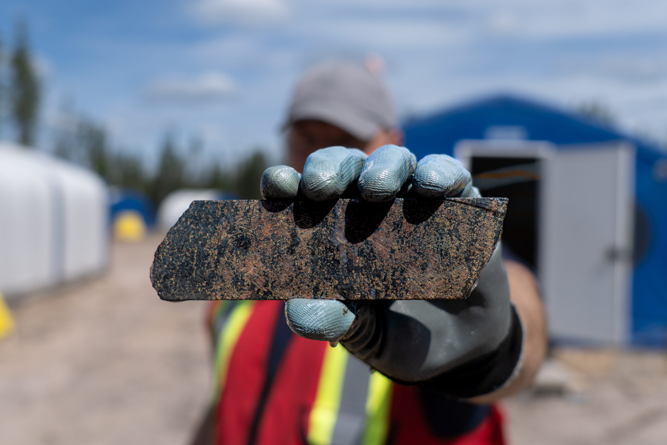
During the summer of 2010, the Saskatchewan Geological Survey completed sampling and geological mapping in the area of the J.H. Wilson discovery trenches. The exploration program verified the existence of high-grade rare earth elements (“REE”s) from the old trench blasts, but also discovered some new outcrop showings. Samples taken from the trenches contained as much as 28.9% total REE with spectrometer readings as high as 53,500 total counts per second (“cps”) from the old trench areas (Normand, 2010). During October the following year, Appia and Mr. Scott Bell initiated exploration in the Alces Lake area with a helicopter-supported prospecting program in the area of the Wilson trenches that were previously resampled by Wilson.

The Appia project is located approximately 25 km east of the famous Beaverlodge uranium mining centre. Within the region, 284 uraninite (a.k.a. ‘pitchblende’) occurrences were known by 1969, of which 36 were explored underground with 16 of them advancing to a mining operation. Uranium mineralization occurs predominantly as vein-type systems localized in shears and faults but includes fracture-fillings or disseminations, or as a combination of both, with pitchblende as the main uranium-bearing mineral. Some of the uranium mines were significant. In the 1950s, the Lost Mine shipped 103,408 tonnes of ore to the Lorado Mill from which was recovered 223,574 kg (492,896 lbs) of U3O8. During eight years of operation in the 1960s, the Gunnar Mine processed approximately 4,988,500 tonnes of ore with an average grade of 0.175% U3O8 containing more than 19.2 M lbs of U3O8. The Eldorado-Ace-Fay Mine produced in excess of 19.2 tonnes (42.4 M lbs) of U3O8. The total production from the Beaverlodge vein systems from 1953 to 1982 was 22,467,229 kg of U3O8 (Potter, 2021).

See map (to the right) for geological details of historical prospecting in the Alces Lake Area (Norman, 2014).

Assessment ReportYearWork Summary
Goldfields Uranium Mines Limited

74N09-0012

74N09-0013

1950 to 1951

Scintillometer surveying, mapping, prospecting, discovery of Scrub uranium showings

Diamond drilling (2 DDH) at SCRUB

Indian Mines Ltd.
74N09-00071950 to 1951Reconnaissance mapping, radiometric prospecting, discovery of HALL-GRIF uranium showings
J. Wilson
74N09-00201954Mapping, trenching, sampling, discovery of Alces Lake REE-U showing
Fargo Oils Ltd.
74N09-00061955Detailed geological survey on southern shore of Alces Lake
Assessment ReportYearWork Summary
Numac Oil & Gas Ltd.

74N09-0077

74N09-0164

1966 to 1968Airborne gamma ray spectrometer survey, detailed ground radiometric prospecting and mapping
Eldorado Mining and Refining Ltd.
74N09-01691966 to 1968Reconnaissance mapping, radiometric prospecting, discovery of Scrub uranium showings
Assessment ReportYearWork Summary
Saskatchewan Geological Survey
74N09-02591975Detailed geological and structural mapping, uranium-in-lake-water, radon-in-lake-water and uranium-in-lake-sediment sampling, bathymetric and VLF surveying of Alces Lake
Assessment ReportYearWork Summary
Saskatchewan Geological Survey
SGS Misc. Rep. 2010-4.22010Mapping, radiometric prospecting, sampling returned high-grade REE

Gallery

Subscribe