About Appia
Rare earths and Uranium Exploration Company
Ultra Hard Rock/IAC Project
Goiås State, Brazil
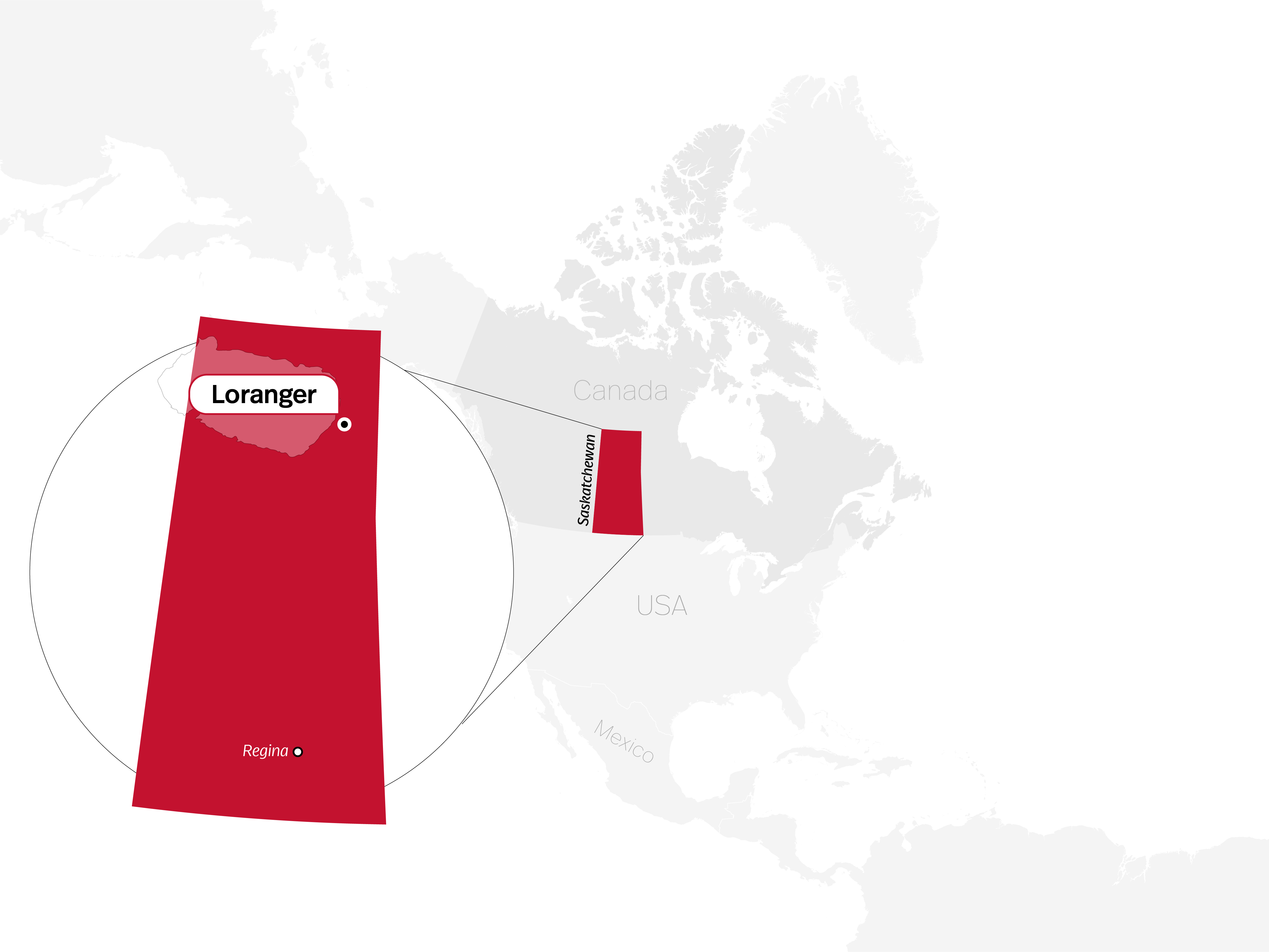
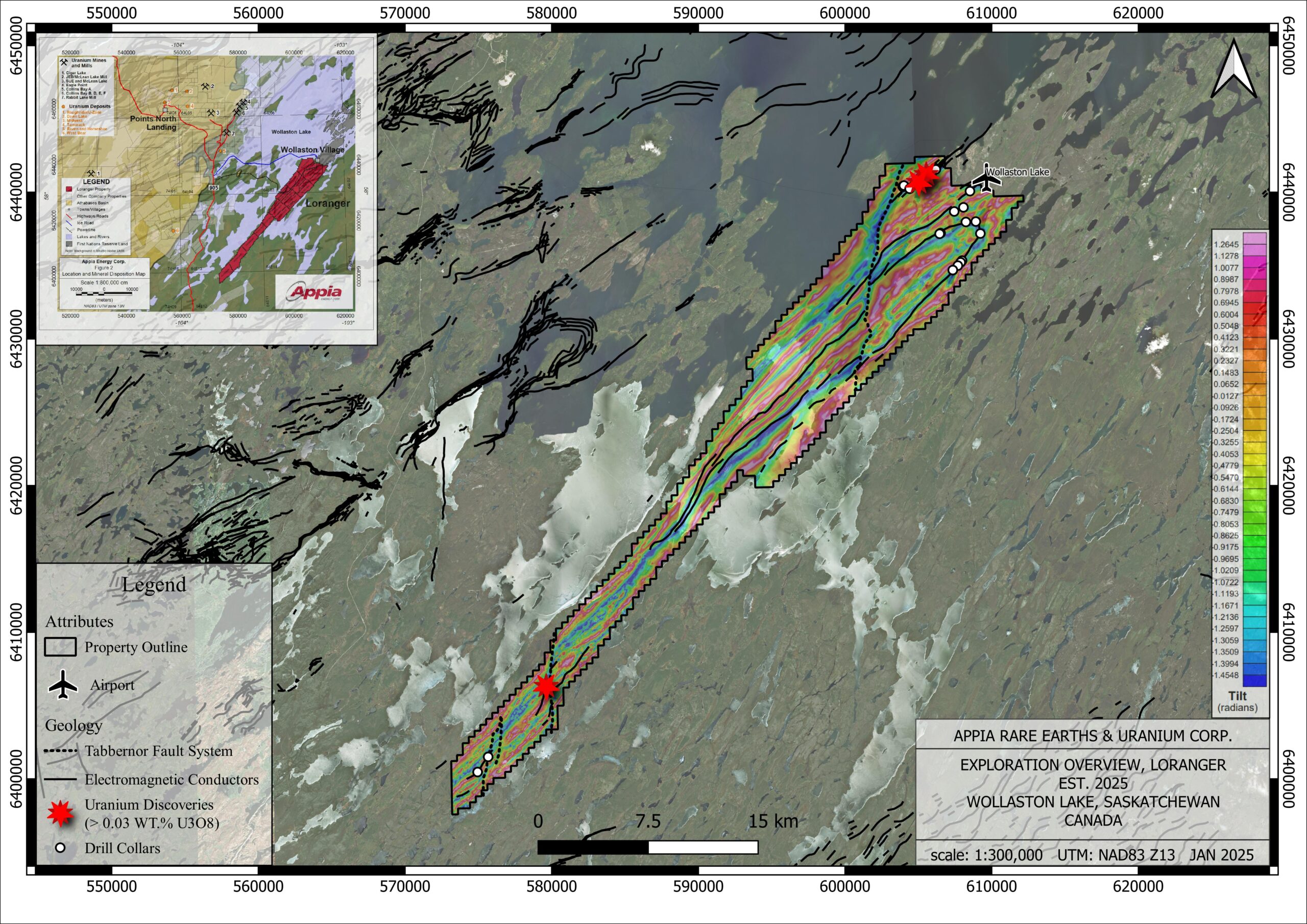
Athabasca Basin Uranium & REE Projects
Saskatchewan, Canada
Elliot Lake Uranium & REE Project
Ontario, Canada
Investors
Why should you consider Appia? Learn more here.
NEWS
Stay up to date with all the new and exciting news we have to share about our projects